The Point Lonsdale Sand Monitoring Program
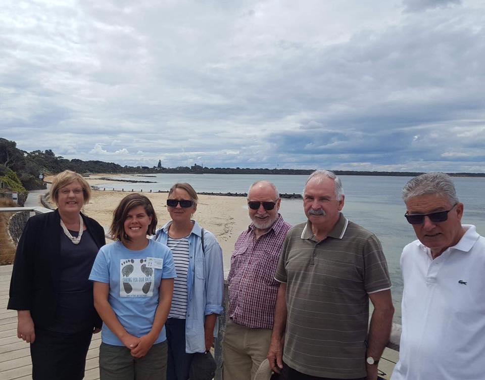
The Point Lonsdale Sand Monitoring Program is a citizen science project aimed at understanding the movement of sand at Point Lonsdale Front Beach. This program is a collaboration with Bellarine Catchment Network, Parks Victoria, the Department of Land, Water and Planning, The Borough of Queenscliffe and the Swan Bay Environment Association.
The project began back in August when the local community became concerned about the slow loss of sand from the front beach of Point Lonsdale. The DELWP have funded this project to address this concern.
This citizen science program aims to collect weather and water parameters and to conduct beach profiles at 4 locations on the front beach. Some of the parameters collected include:
- Weather: Temperature, rainfall, wind direction and speed and storm events.
- Water: Wave direction, height and period.
- Unusual weather events.
- Increased amounts of sand on the promenade.
We are currently collecting data utilising the BioCollect App which runs via the Atlas of Living Australia. Find our project here: Point Lonsdale Sand Monitoring.
For more information or to become a volunteer, please email Naomi at: naomi@bcn.org.au
.png)
(3).png)